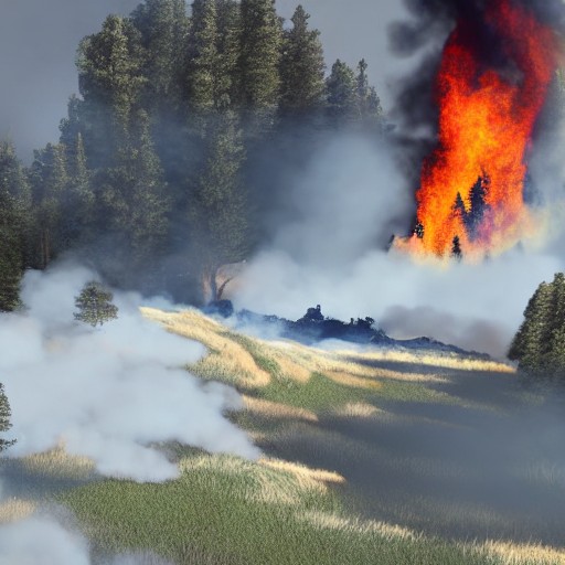
At 06:00, Pete Short launches a thermal drone into the early morning sky, searching for hidden fires in the Cairngorms National Park. After a bumpy drive into the woodland, Pete and the author work together to keep the drone in sight while studying the images sent back to his screen. The team hopes to find no fires this time, but on their last flight, they discovered eight hot spots. In one area, smoke rises from the ground, revealing a fire that's still cooking away.
The wildfire began in July and burned across about 3,300 hectares of land. Five experienced drone pilots were brought in to provide aerial information to the agencies fighting the fire. Now, the challenge is different: hot spots can continue to burn beneath the earth. Each one found by the drones is reported to the land manager, who sends teams to dig into the ground and douse it with water. Ben Jones, senior site manager for the RSPB at Abernethy, explains that knowing exactly where to send those teams has been crucial for efficiency.
The scale of the damage is almost haunting. Tree trunks are blackened and charred, and the acrid smell of fire still lingers. However, green shoots are emerging, and fungi is growing. Dr Sarah Henshall, head of conservation at the Cairngorms National Park Authority, says it is too early to know the full ecological impact of the fire. The drones are now being used to repeatedly fly over the damaged landscape, taking photographs and video from the same positions month after month and year after year, allowing conservationists to build up a picture of how the landscape changes.
Pete believes that getting a view above the tree canopy quickly could prove critical in spotting future fires before they have a chance to spread. Back on the ground, the patrol finds another hot spot, revealing a fire that's still burning beneath a thin layer of earth. Another location to report, and another fire for the ground teams to extinguish.